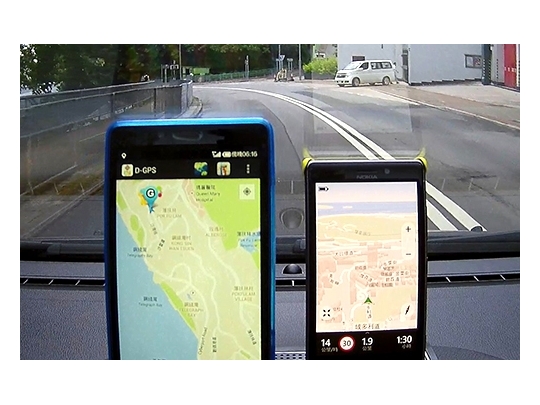
Based on the existing Hong Kong SatRef network, the system offers a fundamental positioning infrastructure that provides multiple location based services to support economic development in Hong Kong. The system provides technological advancements in surveying, logistics operation, Geographic Information System (GIS) applications, and location-based services in Hong Kong. It also enhances the performance of the SatRef network by integrating GPS and Beidou, and achieves more reliable Real-Time Kinematic (RTK) positioning with the accuracy of 1 centimetre for survey and engineering applications. It further implements GNSS heighting in Hong Kong to improve engineering surveying efficiency. Last but not least, the system provides a reliable platform with DGNSS differential technologies for mobile operators in Hong Kong and surrounding territories to support personal and vehicle positioning and navigation with metre level accuracy (2 ~ 3m).

TECHNOLOGY TRANSFER
Logistics & Supply Chain Management
A Hong Kong Positioning Infrastructure based on GPS, Beidou, and Ground based Augmentation System